
welcome to pjf farm
The geologic time scale (GTS), used primarily by scientists, presents a timeline of Earth’s history or geological developments. The scale is a representation of time-based on the rock record of Earth. The subdivided units of time in the GTS are shown in descending order of duration. It includes eons, eras, periods, epochs, and ages. A basic understanding of the GTS will help you understand the geology of PJF Farm and Lodge (the Farm).
Geology
At some point within the range of 75,000-95,000 years ago, the volume of water released from melting glaciers (glacial meltwater) pouring southward through the post-Pleistocene Red River had become too much for the riverbed to bear. Like an untended firehose, the Red River cracked and the entire stream shifted westward, landing right here on what would become the Farm. This happened several times earlier, during the 1.6-million-year history of the Pleistocene Epoch, better known as the Ice Age.
The term "Ice Ages," rather than “Ice Age,” would be a more appropriate nickname for this geological time period since the northern half of the Earth experienced not one, but many, freezing periods. During these freezing periods, huge ice masses completely covered our North American continent as far south as southern Ohio. Afterward, the melting ice during warmer periods of time between the ice ages caused equally great floods.

Sheared Prairie Terrace.
Photo by Bill Fontenot.
The proof of these wild directional changes of both the lower Red and the lower Mississippi Rivers can be clearly seen in the many crescent-shaped channels, gentle ridges, and old riverbank ridges that are scattered throughout the southern half of Louisiana. Being located at the bases of these two great rivers, south Louisiana's landscape was built with sediments carried down from the far north during the great floods of the ice ages and subsequent river meanders.

The Escarpment at Lil’ Bleu Loop Trailhead.
Photo by Bill Fontenot.
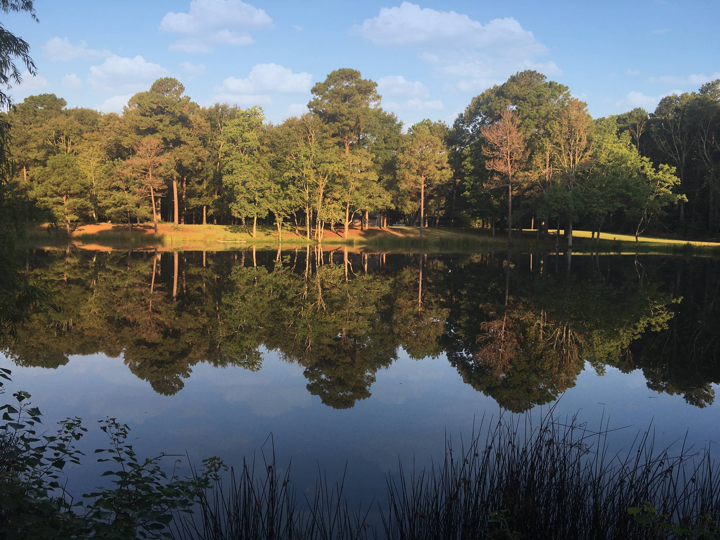
Take a look to your left down Sandpiper Road overlooking the old streambed of the late Pleistocene Red River. You are presently standing on that ancient river’s west bank.

Ice Age Red River Overlook.
Photo by Geralyn D. Bertrand.