
welcome to pjf farm
Elevation
This map of the PJF Farm and Lodge (the Farm) was produced using LIDAR (Light Detection and Ranging) scanning. The LIDAR combines laser and radar technologies that detect very subtle differences in elevation. The white-colored areas on the map represent the highest elevations, peaking at about 87 feet above sea level. On the map, it is easy to see the Farm's white ridgetops along with their eroded edges.
The blue-colored areas show the lowest elevations, dipping down to about 17.5 feet above sea level. The edge or escarpment of the late-Pleistocene Prairie Terrace, sheared 75,000-95,000 years ago by the ancient Red River's final westward meander, is seen where blue meets green on the map.
The large, blue-colored area on the east side of the Farm represents the old streambed of the Red River. This is where rice and crawfish are grown/raised and harvested today.
The different elevations associated with the different water bodies on the Farm can also be seen on the map. LIDAR measures each of these at the water's surface rather than the bottom of each lake. Sand Pit Lake and Ty Lake were artificially dug. Old Lake and Indian Lake represent depressions left over from previous Ice Age shifts of the Red River.
The geologic time scale (GTS), used primarily by scientists, presents a timeline of Earth’s history or geological developments. The scale is a representation of time-based on the rock record of Earth. The subdivided units of time in the GTS are shown in descending order of duration. It includes eons, eras, periods, epochs, and ages. A basic understanding of the GTS will help you understand the geology of PJF Farm and Lodge (the Farm).
Geology
At some point within the range of 75,000-95,000 years ago, the volume of water released from melting glaciers (glacial meltwater) pouring southward through the post-Pleistocene Red River had become too much for the riverbed to bear. Like an untended firehose, the Red River cracked and the entire stream shifted westward, landing right here on what would become the Farm. This happened several times earlier, during the 1.6-million-year history of the Pleistocene Epoch, better known as the Ice Age.
The term "Ice Ages," rather than “Ice Age,” would be a more appropriate nickname for this geological time period since the northern half of the Earth experienced not one, but many, freezing periods. During these freezing periods, huge ice masses completely covered our North American continent as far south as southern Ohio. Afterward, the melting ice during warmer periods of time between the ice ages caused equally great floods.
Sheared Prairie Terrace.
Photo by Bill Fontenot.
The proof of these wild directional changes of both the lower Red and the lower Mississippi Rivers can be clearly seen in the many crescent-shaped channels, gentle ridges, and old riverbank ridges that are scattered throughout the southern half of Louisiana. Being located at the bases of these two great rivers, south Louisiana's landscape was built with sediments carried down from the far north during the great floods of the ice ages and subsequent river meanders.
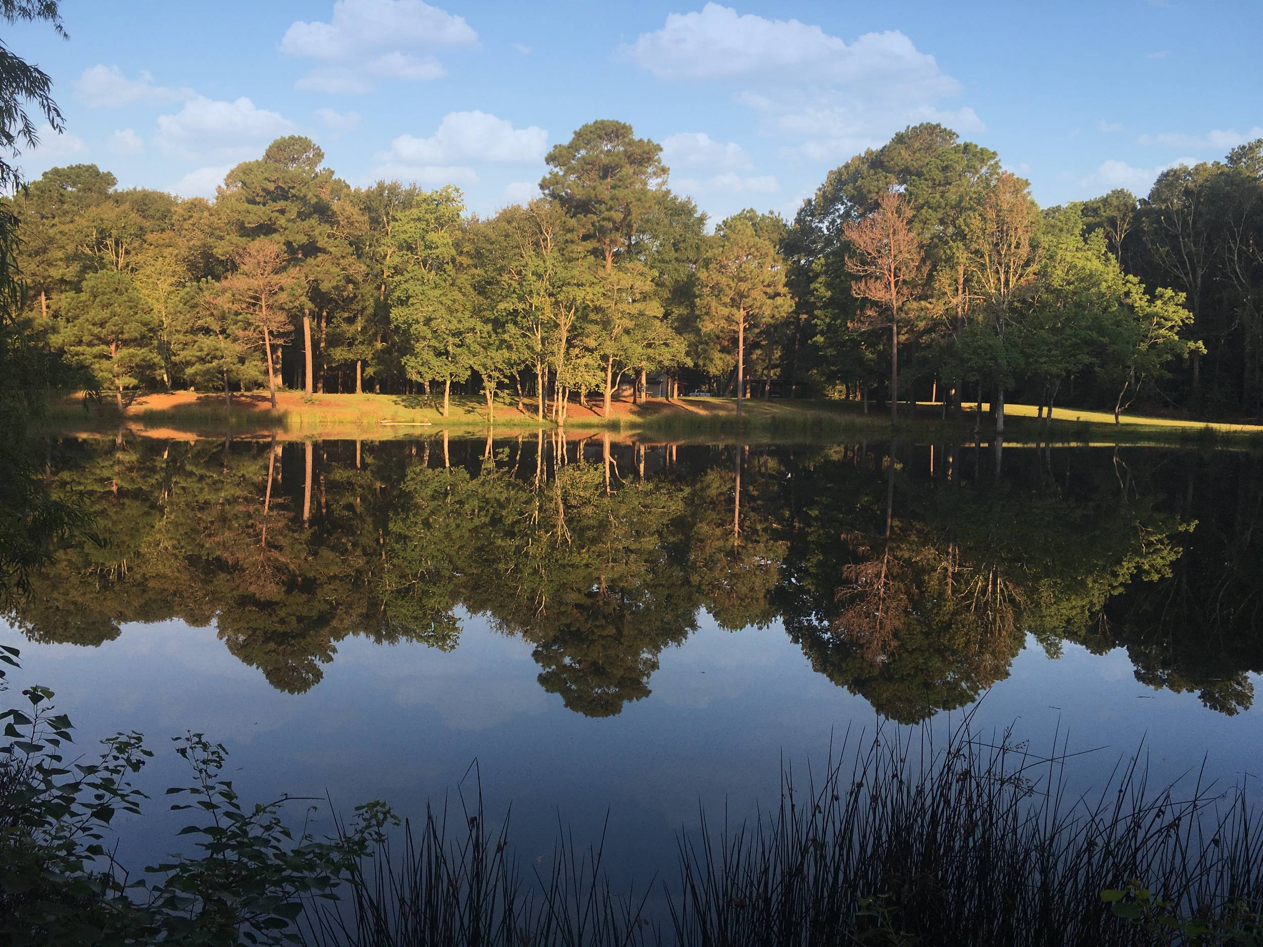
The Escarpment at Lil’ Bleu Loop Trailhead.
Photo by Bill Fontenot.
Take a look to your left down Sandpiper Road overlooking the old streambed of the late Pleistocene Red River. You are presently standing on that ancient river’s west bank.
Ice Age Red River Overlook.
Photo by Geralyn D. Bertrand.
Louisiana is a state that is made out of mud – literally! Most other states were built by continental uplifts of rock. Those types of formations are buried many thousands of feet below where you are presently standing. They are thickly covered by gravel, sand, and finally mud (alluvium) brought down by the ancient Red and Mississippi Rivers.
Soil
The resulting soil deposits here at the PJF Farm and Lodge (the Farm) are just about as complex as the ecological habitats or natural communities they rest on. As seen on the soil map presented here, the oldest soil deposit is that of Moreland clay. This soil originated in the Permian Red Beds of southern Oklahoma and northern Texas around 260 million years ago. They were finally brought here by the ancestral Red River toward the end of the Ice Age.
Moreland Clay.
Photo by Maria Abshire.
Cascilla and Iota silt loams were also deposited by the ancient Red River during interglacial periods in the later years of the Ice Age. On the map, notice how Iota silt loam clings to the Farm's ridgetops upon which all of the Farm’s roads have been built. These deposits were followed even later by the finer clay-dominated loams of the McKamie Soils.
Iota Silt Loam.
Photo by Maria Abshire.
McKamie Soil.
Photo by Rob Dobbs.
Gallion silt loam covers the escarpment or shelf that was once the edge of the old Red River's western bank – just 100 or so yards east of where you are standing. This buildup happened right before the river traveled back to its present location about 50 miles to our east.
The small areas of Calhoun silt loam represent what remains of a loess deposition event, laid down about 10,000 years ago. Loess is a type of soil comprised of super-fine sand and silt particles, pulverized by the migration of the Ice Age glaciers. It then spread around and was set in place by wind throughout many parts of the world.
Gallion Silt Loam.
Photo by Maria Abshire.
Calhoun Silt Loam.
Photo by Geralyn D. Bertrand.